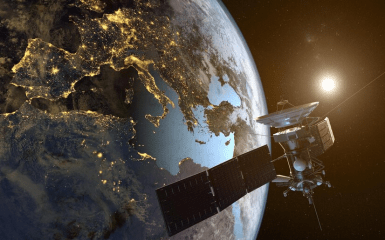
The Ministry of Defence of Ukraine announced that it will cooperate with one of the largest satellite companies to limit the filming of Ukraine's territory.
Restrictions on space surveying of the territory of Ukraine
The name of the satellite company is withheld from the Ministry of Defence for security reasons.
The ministry's message says that their representatives met with the management of the satellite company.
The purpose of the meeting was to discuss the limitation of space surveying of the territory of Ukraine under martial law.
Satellite companies survey Ukraine's territory every day. The enemy can use these images. Therefore, we are grateful to our partners for their willingness to sign a memorandum and jointly implement a mechanism to limit filming in our territory. This cooperation should become an example for other satellite companies. In war conditions, we must minimize the risks of using images of Ukraine by the enemy.

Kateryna Chernogorenko
Deputy Minister of Defense of Ukraine for digital development, digital transformations and digitisation
Also, as noted in the Ministry of Defence, the ministry plans to extend the contract with the satellite company to order up-to-date images of the territory of Ukraine for defence and security purposes.
Russia can use satellite images of private companies for strikes on Ukraine
In March, The Atlantic, citing a Ukrainian military source, reported that Russia was carrying out long-range strikes on Ukraine using satellite images of American companies.
The source said that the satellite takes pictures of the place, and a missile hits it a few days or weeks later. Sometimes, another satellite takes another picture of the site later, perhaps to check the extent of the damage.
The number of coincidences where the images are accompanied by shocks is too high to be coincidental, the source said.
For example, in the week before April 2, 2022, American companies received at least nine requests for images of an airfield near Myrhorod in the Poltava region. On April 2, missiles hit there.
In Lviv, before March 26, 2022, someone requested the satellite to inspect a factory that produces military armour. He was also impressed.
The Atlantic writes that there are hundreds of such cases.

